
2026-09-14
Gap: SRTM unrealistic land artifacts
This work closed three problems: an elevation source with land artifacts, a waterfall rule firing too often, and a vertical exaggeration baked into every slope threshold.
Gap: SRTM unrealistic land artifacts
The terrain was built from an SRTM (Shuttle Radar Topography Mission) tile with a defect: a circular dome and two rectangular strips of land above sea level that don't exist, artifacts from filling scan gaps.
The source switched to Copernicus GLO-30, a newer dataset on the same grid: a format conversion, no resampling or code changes.
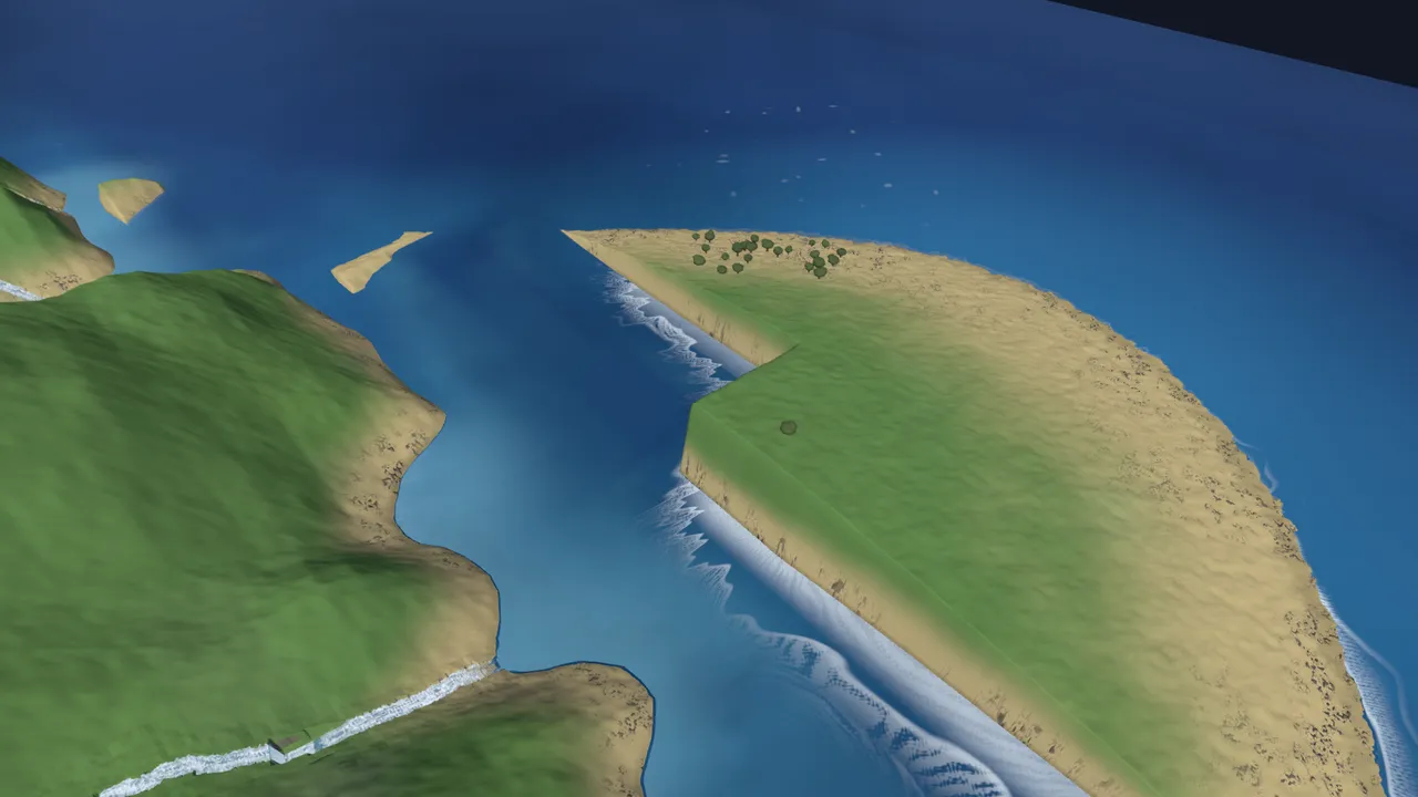
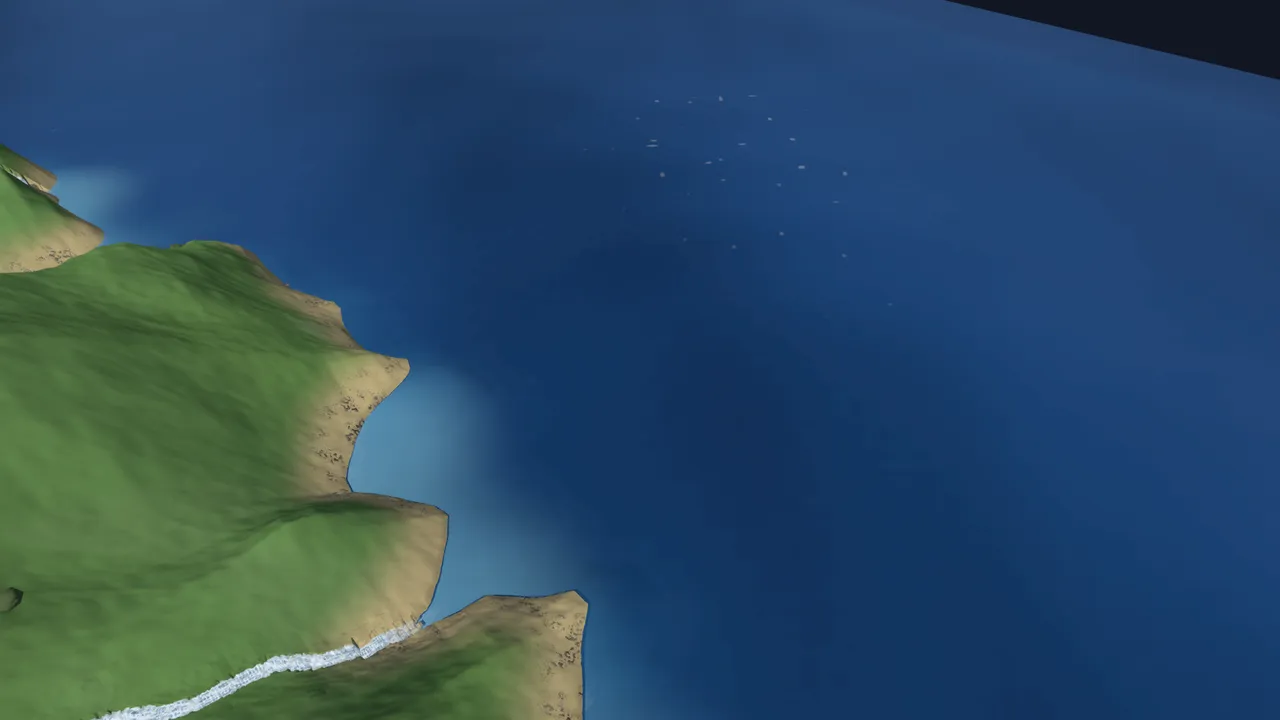
About 3.3 square kilometers of the old data (4,379 cells, 101 patches) read as land with no new-data counterpart, agreeing elsewhere within a 2-meter average height and placing the summit at the same 373 m.
Dead end: switching sources meant rebuilding the river network, since the tool that built the old base layer was a one-off run whose code had been deleted; a replacement rebuilt it, 164 courses down to 161.
Gap: Waterfalls too frequent
The existing rule placed a waterfall on any fork whose steepest stretch dropped six meters or more, qualifying 88 of 164 forks: judged overdone once shipped.
The new rule reads every segment's slope, calculates the map's average and spread, and places a high-energy waterfall only where a segment sits meaningfully above it, with a fallback so a fork with no exceptional segment still gets one fall.
The qualifying set dropped to 114 segments across 29 forks of 2,342 total; waterfall bodies fell from 83 to 23, and flagged cells from 1,509 to 1,213.
Dead end: a statistic over four or five segments is noise, so tests and the solver needed synthetic filler segments before the calculation meant anything.
Gap: Vertical scale exaggerated 2.5x
The world had always rendered at 2.5 times real vertical scale, and every slope, drop, and grade threshold was tuned against that inflated view.
The overview camera, six rendering defaults, and the planner's own scale constant were brought to true (1.0x) height, and every threshold restated in real terms: white-water spray now starts at a 1.2 m drop (was 0.48 m).
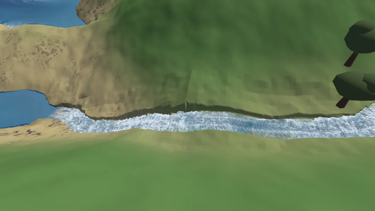
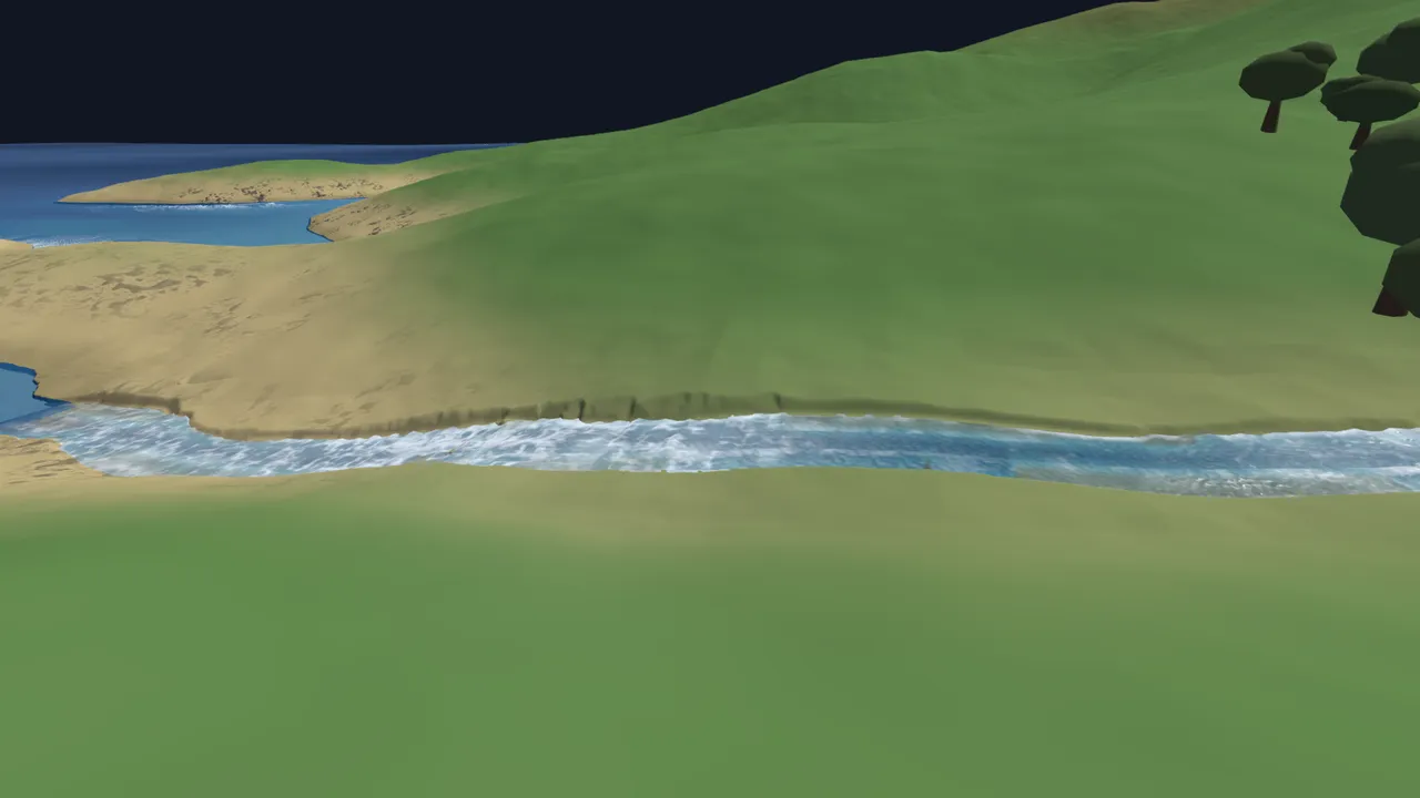
Same location, same camera: a clear improvement, with several inconsistent-looking river junctions resolved as a side effect.